DIARIO / JOURNAL
From Bellaria to Monteleone, where Romagna changes pace
|
On some rides, the destination is simply a coordinate on the track. On others, all it takes is passing through a brick archway to realise that you have truly arrived somewhere.
This time, the point on the map is called Monteleone di Roncofreddo.
The ride starts almost at sea level, in Bellaria. Ahead lie just over sixty kilometres and a Romagna that slowly changes character: first the plain, straight roads and farmland; then, almost unnoticed, the horizon begins to move. The first slopes arrive, roads grow narrower, and the landscape gains depth.
By the end, the GPX records 61.6 kilometres, around 447 metres of ascent and a maximum elevation of 353 metres. Fairly gentle figures for a mountain bike. But the beauty of this ride is not in the numbers.
Towards the hills
Beyond the coastal strip, the track heads inland through the countryside around Bagnarola and towards Calisese. It is one of those transitions where the sea disappears behind you and the hills around Cesena begin to emerge ahead.
From Calisese, the bike truly enters another Romagna.
The pace grows less regular, climbs interrupt the steady pedalling of the plain, and roads seem to follow the shape of the land rather than trying to dominate it.
Here the mountain bike starts to make sense not only as sporting equipment, but as a tool for exploration.
A sign pointing far beyond the ride
At one point, a sign appears: “Il Cammino di San Vicinio”.
Cesena in one direction, Madonna dell’Ulivo in the other.
The Cammino is a circular walking route through Romagna and the Apennines. Its stage between Roncofreddo and Montiano passes through Santa Paola, Monteleone and Sorrivoli.
For a little while, the mountain bike’s wheels become part of a story originally meant to unfold at walking pace.
It is one of the things I love most about cycling: you can set off thinking you are going for a training ride and find yourself, a few hours later, on an ancient walking route.
Monteleone
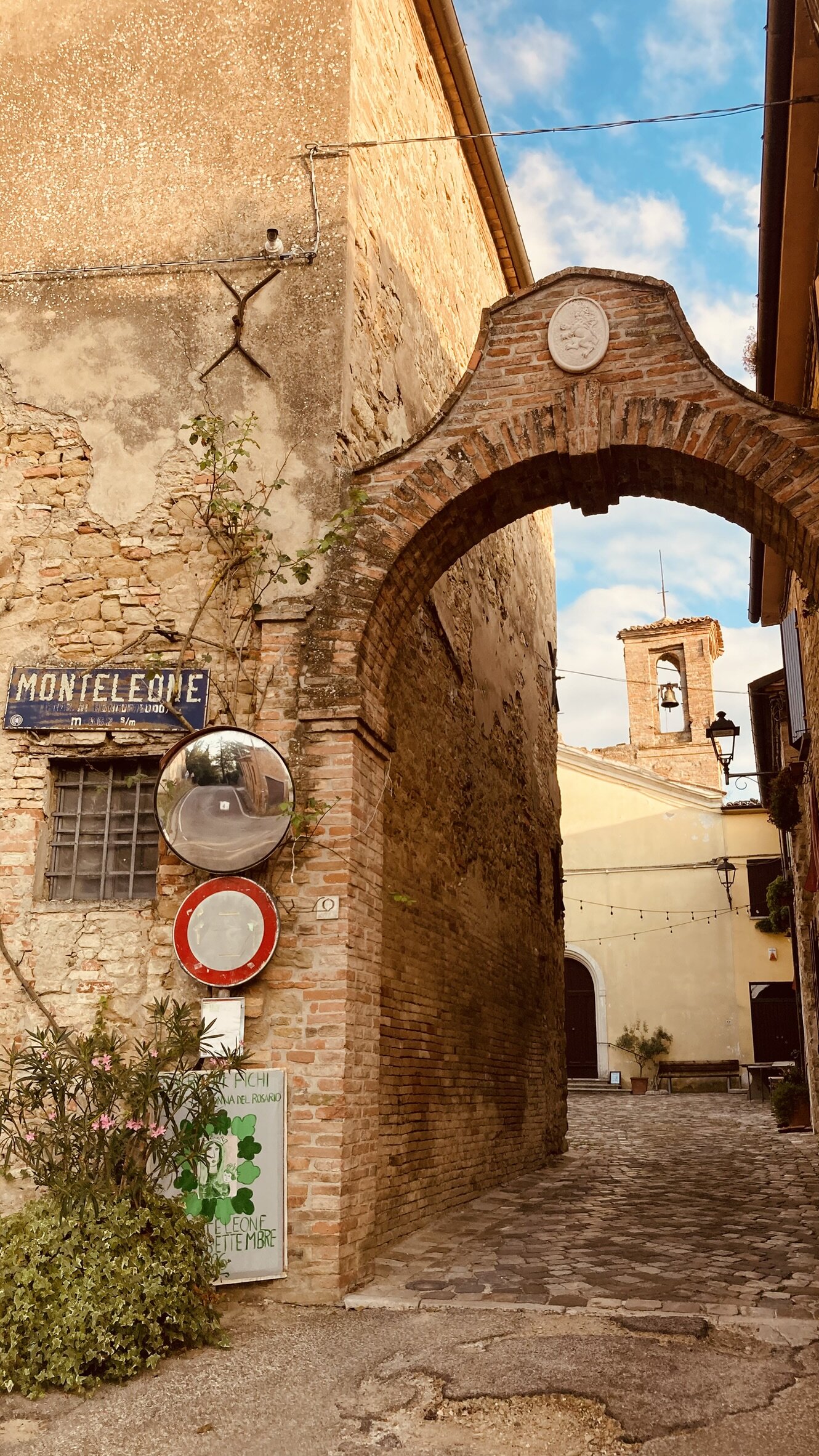
Then the brown sign appears.
MONTELEONE — Municipality of Roncofreddo.
The bike leaning in front of it is almost a statement of arrival.
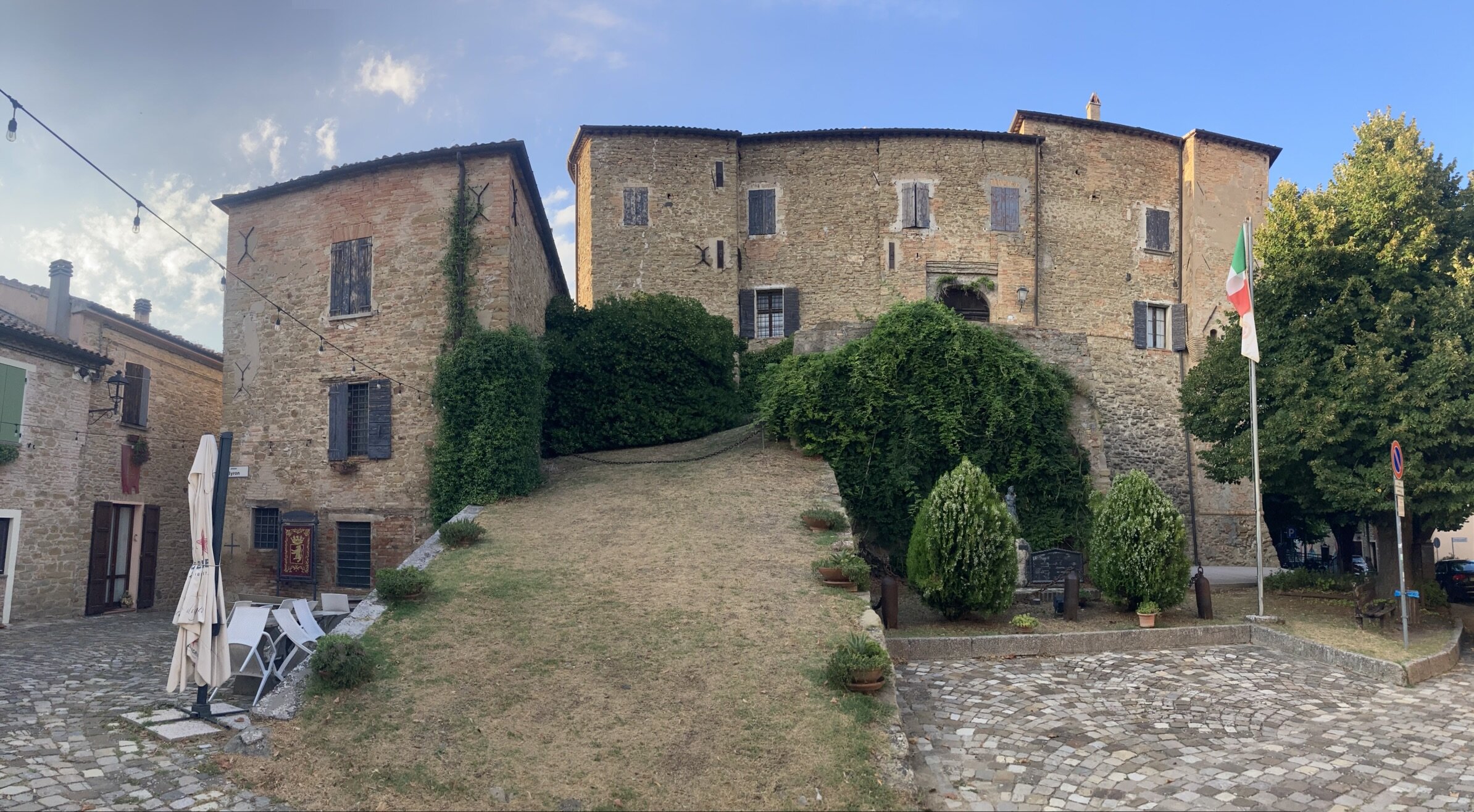
The village is tiny, gathered around its castle on a commanding hill. Its documented history goes back at least to the Middle Ages. Over the centuries the castle was caught up in the struggles involving the Malatesta, Ordelaffi, Montefeltro and the Papal States.
Today Monteleone holds the Touring Club Italiano’s Orange Flag, an award for small inland towns that combine heritage, environment and the quality of their welcome.
But arriving by bicycle, you do not need a certificate.
You only need to pass beneath the archway.
Brick, stone, cobbles, a little church, a few houses, and the castle overlooking the square. Everything is gathered into a very small space. After kilometres of open road, it almost feels like entering a room.
Byron in Romagna
The square bears a distinctly un-Romagnol name: George Gordon Byron.
The English poet visited Monteleone when the castle belonged to the Guiccioli family. The connection runs through Teresa Guiccioli, née Gamba, the woman at the centre of Byron’s long Italian love affair. The village square still bears his name today.
It is one of those details that make inland Italy so surprising: you pedal through the Romagna hills and suddenly encounter one of the great figures of English Romanticism.
And then there are the figs
There is another coincidence that makes Monteleone particularly hard to ignore.
The village traditionally hosts the Sagra dei Fichi, a festival celebrating figs, one of its local products.
And figs are my favourite fruit.
At this point I can no longer tell whether I reached Monteleone by following the GPX, or whether Monteleone was somehow waiting for the bike.
The return
After the village, the track turns towards Montiano and gradually loses height.
The hills fall behind, pedalling becomes steadier, and the plain takes possession of the landscape again.
Meanwhile, the day is drawing to a close.
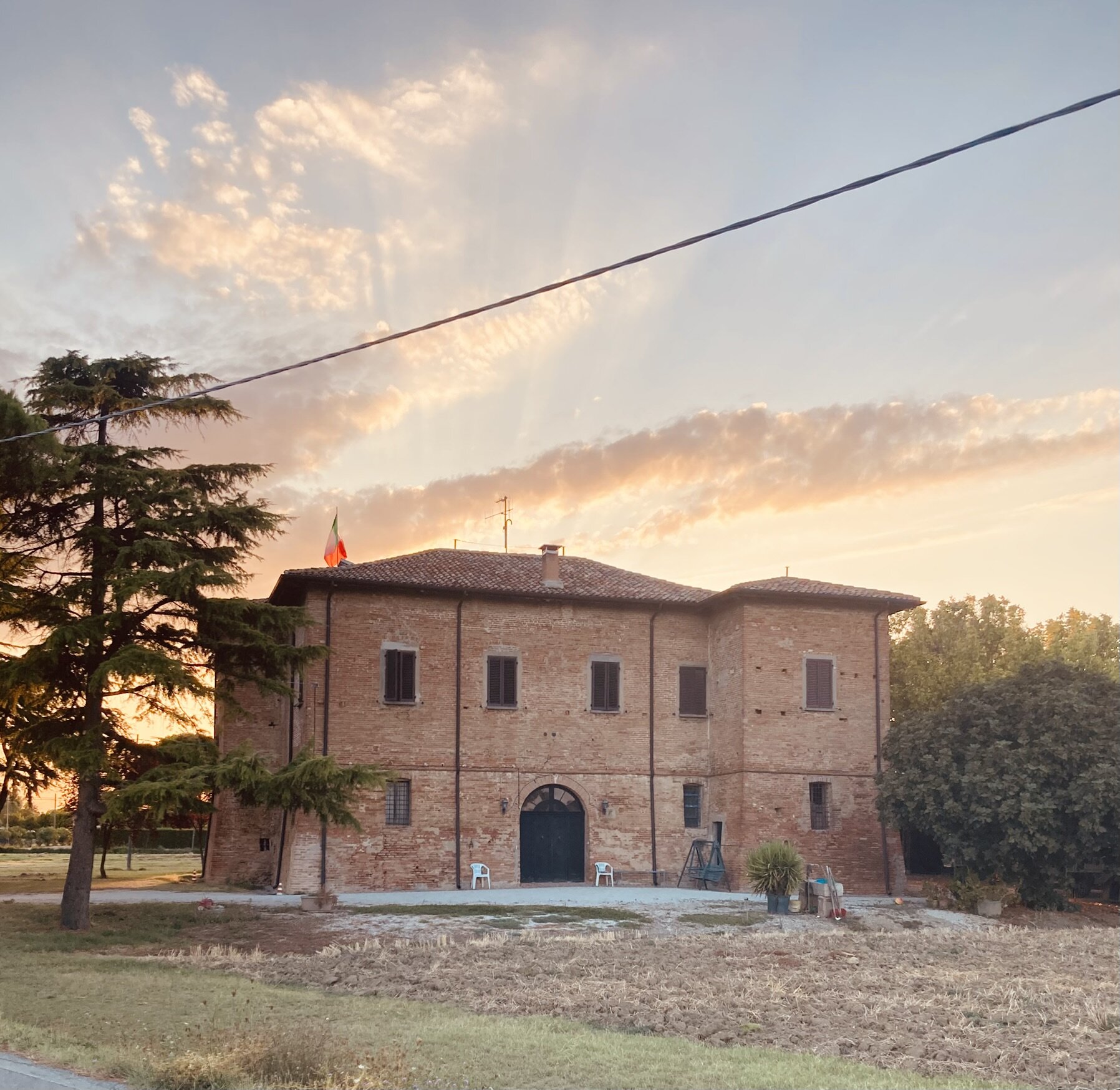
Low sunlight touches the old farm buildings and warms everything: bricks, fields and trees. One of the last photographs of the ride is almost entirely shaped by the sunset light.
Then Bellaria again.
The same starting point, but not quite the same place.
Because in the meantime, between the sea and a hill a little over three hundred metres high, a castle, Byron, an ancient walking route and even a festival devoted to figs have appeared.
Not bad for 61 kilometres on a mountain bike.
Ride details
Distance: 61.6 km
Ascent: around 447 m
Maximum GPX elevation: 353 m
Recorded time: around 3 h 06 min
Bike: mountain bike
Start/finish: Bellaria
Highlight: Monteleone di Roncofreddo